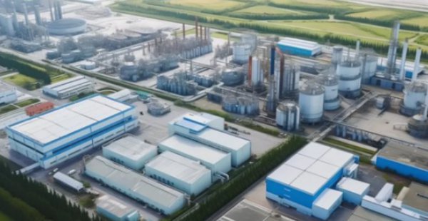
MYUAV drone laser methane telemeter: a tool to protect the safety of chemical parks
MYUAV drone laser methane telemeter: a tool to protect the safety of chemical parks

Methane is a kind of flammable gas, when it reaches a certain concentration in the air, it is easy to cause fire, explosion and other safety accidents. Through daily inspection and monitoring of chemical plants and parks, potential leakage problems can be found in time and measures can be taken to prevent accidents. With the application of new technologies such as drones and laser methane telemeters, routine inspection and monitoring of methane has become more efficient, accurate and cost-effective.
Inspection advantage
1. Improve inspection efficiency: the UAV laser methane telemeter can quickly and accurately detect the safety hazards in the chemical plant, such as equipment failure, leakage, etc., which greatly improves the inspection efficiency and reduces the time and cost of manual inspection.
2. Reduce safety hazards: The UAV laser methane telemeter can detect equipment failures, leaks and other safety hazards in time to avoid accidents and ensure the normal production and safe operation of chemical plants/parks.
3. Reduce personnel risk: The use of UAV laser methane telemeters can reduce the risk of personnel entering dangerous areas, reduce the incidence of safety accidents, and reduce the interference and impact of manual inspection on personnel.
4. Real-time monitoring: the UAV laser methane telemeter can carry out real-time monitoring, timely detect abnormal situations and take appropriate measures to ensure the safety of the chemical plant/park.
Inspection equipment
LC30 Pro drone laser methane telemeter
LC30 Pro laser methane telemeter is a UAV methane concentration detector independently developed by Nanjing Yuefi Intelligent Technology, which adopts TDLAS principle of tunable semiconductor laser absorption spectroscopy. Quickly detect trace amounts of methane gas in the air. The maximum detection distance can reach 150 meters, with high sensitivity, high measurement accuracy, low detection limit, fast response speed and so on. It can be used in oil and gas pipeline routine inspection, emergency risk evaluation, etc.
Software platform function
During the inspection process, the status of the UAV and methane measurement data can be viewed in real time. In case of pipeline leakage, the terminal device will automatically alarm and record data (time, coordinates, leakage concentration, and on-site photos) so as to automatically generate inspection reports in the later stage.
1. Home Page
As shown in Figure below, the main page is divided into three areas: model display, device identification, and login account.
Model display: When the remote control is connected to the drone, the corresponding model picture can be displayed in this area.
Device identification: When the methane device or DJI H20 series camera is connected to the aircraft, this area can display the identified device. Due to the slow startup speed of DJI SDK, the device recognition is slightly delayed, please wait patiently for the device recognition to appear.
Login area: Only after entering the correct account, you can access the subsequent page of the app. You can change the password, exit, and change the login account in account operation. The interface after successful login is shown in Figure below.
2. Camera display
3. Map display
After the aircraft enters the flight path, the status information box as shown in Figure 6 can be displayed at the lower part of the screen, which includes aircraft information, route information and methane detection information.
Once abnormal data is found in flight, the location can be marked in color on the map, as shown below.
4. Route function
The route editing interface can edit and modify the route, and the UAV can conduct automatic flight inspection after the route is uploaded.
5. Real-time curve view
The real-time curve display function as shown in Figure 8 can be opened through the icon on the left. The pop-up window of the curve display can be dragged to any position on the screen at will. The maximum concentration and real-time concentration value of this methane detection are recorded on it.
6. View historical records
You can open the historical record table shown in the figure through the icon on the left, which is designed for a fixed position and displays the abnormal data recorded in the aircraft. During the flight route, once the methane gas leakage exceeding the threshold is detected, the unmanned aircraft will automatically take photos and record the current concentration value, the number of abnormal data, longitude and latitude coordinates and other relevant information.
You can click the time name to view the historical records of different time periods. You can also press and hold to display the operation box to upload data to the server and delete data.
--DRONE SOLUTION PROVIDER--
MYUAV® TECHNOLOGIES CO.,LTD.
Tax No.: 91320118MA275YW43M Legal Register No.: 320125000443821
Add:No.89,Pingliang Street,Jianye District, Nanjing,China 210019
T:+86 25 6952 1609 W:en.myMYUAV.com.cn
[Caution]MYUAV™ is a manufacturer of defense products and is under security management by a state agency.


